
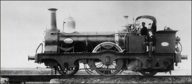
Remembering a unique railway – the Weston, Clevedon & Portishead.
We are the only group dedicated solely to this railway.


Copyright © 2009-2026 WC&P Railway Group

|
Maps: Alan Godfrey Old Ordnance Survey series |
|
|
Sheet 9.16 - Weston (East) 1902 This detailed map covers the eastern part of Weston-super-Mare, with coverage extending east and north to Baytree Farm and Home Farm in Milton. Features on the map include the GWR station, goods station, engine shed, St Saviour's church, Victoria Hall, cemetery, Manor Farm, Landemann Circus, Ashcombe, The Lodge, tramway and depot. The Weston Clevedon & Portishead Light Railway is shown between Weston and Milton Road. On the reverse is included a list of private residents, entries H-Y. Published 1999. Introduction by Alan Godfrey. The map links up with Sheet 9.15 Weston-super-Mare to the west. Approx. 15 inches to a mile scale. Price is £3 plus postage & packing CODE: MAP916 (RRP is £3.50) |
|
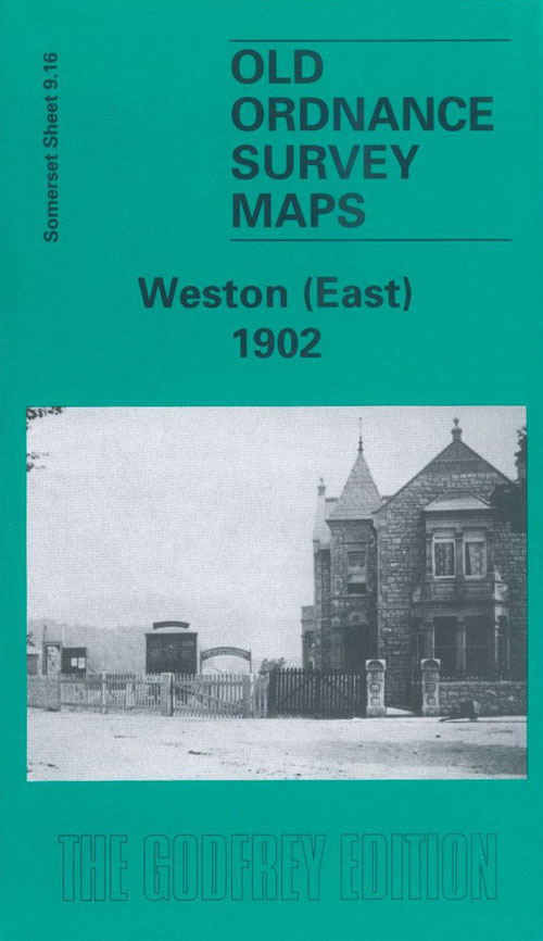

Map: Weston East 1902

£3.00