
Remembering a unique railway – the Weston, Clevedon & Portishead.
We are the only group dedicated solely to this railway.


Copyright © 2009-2026 WC&P Railway Group

|
Maps: Alan Godfrey Old Ordnance Survey |
|
|
Sheet 9.15a - Weston-super-Mare 1885 - Coloured edition This version is in full colour, taken from the beautiful 1st Edition hand-coloured OS map. The maps cover the seaside resort of Weston-super-Mare. Much of the town centre and seafront is included, and features include Knightstone, part of pier, Emmanuel church, St John's church, Holy Trinity church, Verandah House, Prince Consort Gardens, Shrubbery Walks, many named villas, etc. Historical introduction by Mike Bone. Published 2017. Note that this map does not include the WC&PR. Approx. 15 inches to a mile scale. Price is £3.50 plus postage & packing CODE: MAP915a (RRP is £4.00) Please also see Map 9.15b – Weston-super-Mare 1901 (b&w) and Map 9.16 – Weston East 1902 (b&w) which does include the WC&PR. |
|
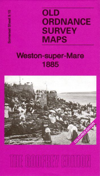

Map: Weston 1885

£3.50