
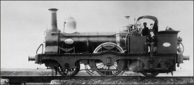
Remembering a unique railway – the Weston, Clevedon & Portishead.
We are the only group dedicated solely to this railway.


Copyright © 2009-2026 WC&P Railway Group

|
Maps: Alan Godfrey Old Ordnance Survey series |
|
|
Sheet 2.09 - Portishead (West) 1930
This detailed map is one of three for Portishead. It covers the western part of the town, with coverage stretching from the High Street westward to the Nautical College, and from Beach Road southward to Wetlands Lane. Features on the map include West Hill, Dry Hill, Capenore Court, Greenfield Farm, Springfield Farm, St Peter's church, National Nautical School, Nore House, Black Nore Point Lighthouse, St Barnabas church, convent, Slade Road. On the reverse is included a commercial directory for Portishead. Published 2007. Introduction by Mike Bone. The map links up with Sheet 2.05 Portishead North to the north and Sheet 2.10 Portishead East to the east. This map does not include the WC&P Railway. (see 2.10) Approx. 15 inches to a mile scale. Price is £3 plus postage & packing CODE: MAP209 (RRP is £3.50) Choose a different map series ... |
|
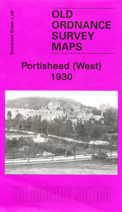

Map: Portishead West 1930

£3.00