
Remembering a unique railway – the Weston, Clevedon & Portishead.
We are the only group dedicated solely to this railway.


Copyright © 2009-2026 WC&P Railway Group

|
Maps: Alan Godfrey Old Ordnance Survey series |
|
|
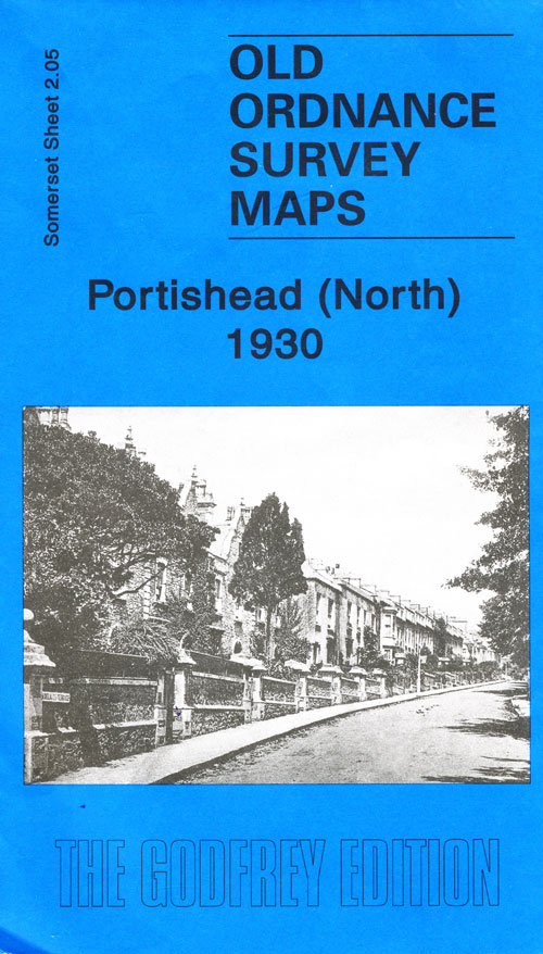
Sheet 2.05 - Portishead (North) 1930
This detailed map is one of three maps for Portishead. It covers the northern part of the town with coverage extending from Rockleigh and Kilkenny Bay eastward to Portishead Dock. Features include Woodhill, most of Portishead Dock, Pier, Royal Hotel, Portishead station, Portbury Wharf, engine shed, Marine Lake, Portishead Point, Adelaide Terrace, timber wharf. On the reverse is included a list of private residents from a 1920s directory. The detailed portrayal of the dock (continuing onto the Portishead East map) with its sidings, lock, flour mills and even mooring posts is the most striking feature of the map. Published 2007. Introduction by Mike Bone. This map does not include the WC&P Railway. (see 2.10) The map links up with Sheet 2.09 Portishead West and 2.10 Portishead East to the south. Approx. 15 inches to a mile scale. Price is £3 plus postage & packing CODE: MAP205 (RRP is £3.50) Choose a different map series ... |
|

Map: Portishead North 1930

£3.00